
Following a Milwaukie Street by Address
Address-keyed records can reveal a property's history without promising a current household list. Begin by checking the address and city context in CMap or the tax-statement tool. Those tools can return tax lot, parcel, tax-map, building, service, and jurisdiction details. CMap does not put owner names online. When ownership is the lawful question, Assessment & Taxation is the documented county route. Carry the parcel and legal description forward, because those identifiers survive better than a street label when a property must be matched to recorded instruments.
The Milwaukie street directory method separates physical property facts from identity claims. A permit may show a project at an address. A recording can identify grantor and grantee parties. A historical reverse directory may show a listed person or business in a published year. Compare the source date, parcel, and legal description before joining those records. Do not treat an address on one document as a complete list of all residents.
- Verify the street and ZIP with USPS, then locate the address in CMap or Online Tax Statements.
- Record the tax lot, parcel, tax map, and legal-description clues shown for the property.
- Contact Assessment & Taxation for owner information if a lawful record question needs it.
- Use recording research to match grantor, grantee, date, and legal description through a deed chain.
- For an earlier address period, verify a Portland directory edition includes Milwaukie before using its reverse guide.
Note: A parcel identifier is more durable than an informal street-only search when records cross agencies or eras.
Milwaukie Street Tax Statement Search
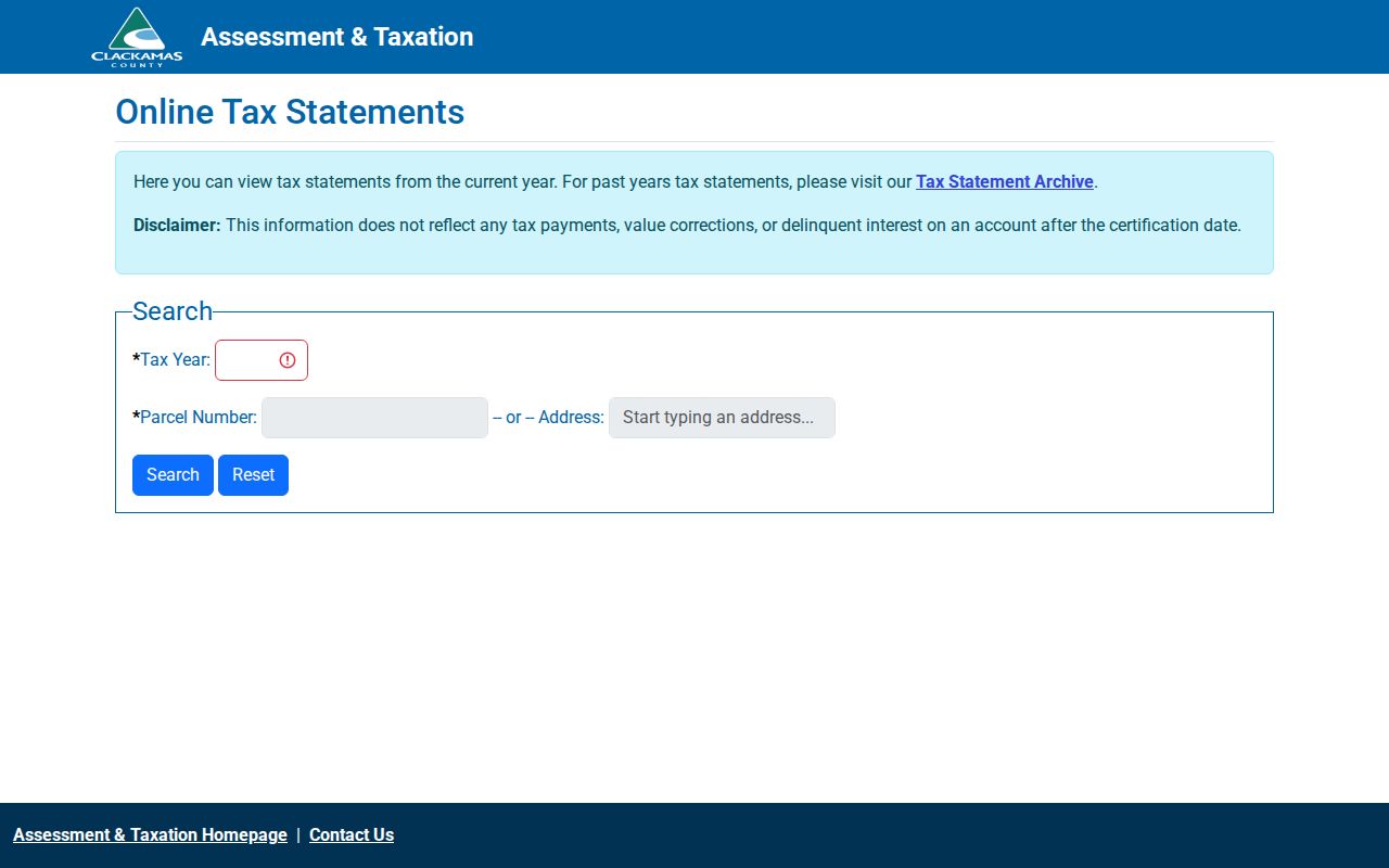
The Clackamas Online Tax Statements tool is the direct address route for a current-year statement. It requires a tax year and then either a parcel number or an address. The interface points prior-year users to the Tax Statement Archive. Its displayed information does not reflect payments, value corrections, or delinquent interest after the certification date, so it is a property and tax reference, not an account-status guarantee or resident list.
| Tax-statement field | How it works |
|---|---|
| Tax Year | Required selection in the current-year tool. |
| Parcel Number | Use when known instead of an address. |
| Address | Autocomplete field; start typing the location. |
| Search | Runs the chosen address or parcel query. |
The Online Tax Statements screen illustrates the required-year and address-or-parcel choices.
Save the parcel reference from the result before moving to deeds, surveys, or an office request.
Milwaukie Streets in CMap Layers
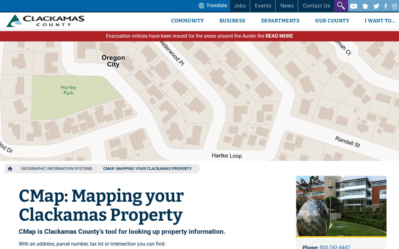
CMap provides a deeper street-and-parcel view. Its search box accepts an address, and the search-mode menu documents city, intersection, tax lot, and parcel-number alternatives. Results can expose building traits, values, city and zoning context, voting districts, service providers, hazards, tax maps, and surveys. The aerial toggle and map controls help orient adjacent parcels, yet county guidance cautions that map boundaries are not survey quality.
The CMap viewer screenshot is an address-navigation reference for the Milwaukie street directory process.
Use its layers to understand geography and parcel context, then verify legal boundaries through the appropriate recorded or survey source.
Milwaukie Owner Questions at Assessment
Assessment & Taxation, rather than CMap, is the county's named contact for owner information. The office lists 503-655-8671 and propertytaxinfo@clackamas.us; public hours are Monday through Thursday, 8 a.m. to 4 p.m., at 150 Beavercreek Road, Room 135, Oregon City. This is a meaningful Milwaukie street directory limit: a rich public map can identify a tax lot while deliberately withholding the owner-name layer online.
The Assessment & Taxation source below shows the county property-service route.
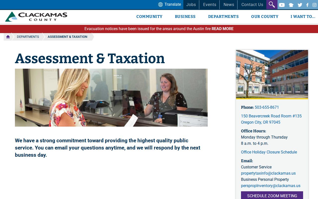
The online services help establish an address trail, while the office handles an ownership inquiry under the governing access rules.
A second county property-service view also points readers to tax statements and value history.
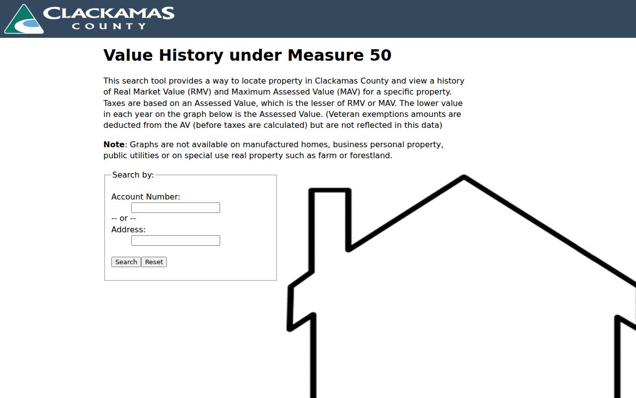
Those services describe property and assessment information, not a universal directory of every person at an address.
Milwaukie Street Records by Address
A street address can open several Milwaukie record systems, but each source has a different purpose. CMap supplies parcel context and not owner names. Tax statements use an address or parcel number. The Recording Division preserves instruments tied to land and legal descriptions. Surveyor records help when an old map or road fact is missing from the web. City permit and planning materials supply dated project or notice context. This coverage table keeps their access limits visible.
| Milwaukie address record | Keeper | What it can show | Access limit |
|---|---|---|---|
| CMap parcel context | Clackamas GIS | Tax lot, mapping, districts, values, services | Free online; no online owner names |
| Tax statement and value history | Assessment & Taxation | Tax-year, parcel/address, and value information | Public tools; older route linked separately |
| Recorded instruments | Clerk Recording Division | Deeds, liens, mortgages, plats, party/date/legal-description fields | Research area and copies; web coverage not verified |
| Surveys and older road material | County Surveyor | Tax maps, surveys, old card-index records | Online subset; office research for many older records |
| City permits and planning | Milwaukie building/planning | Permit status, address, and public notice context | Accela, notice page, or city request fallback |
The chain is address to parcel or tax lot, then legal description or plat, then recorded instrument or city record. For a voter-list question, Oregon publishes a request route, not an online block browser. CMap can help identify a parcel's precinct and district, but it does not identify every person associated with a street.
Milwaukie Deeds Along a Street
Clackamas Recording preserves real-property instruments and says county ownership can be traced in its records to the early 1850s. The office keeps microfilm or computer images and maintains a public viewing, research, and copying area. Current documents are indexed within two business days. That history speaks to office records, not a published online cutoff. When an address search cannot reach an older instrument, use the research area and current fee schedule rather than guessing about web coverage.
The Clackamas County Recording Division page is the official access point shown here.
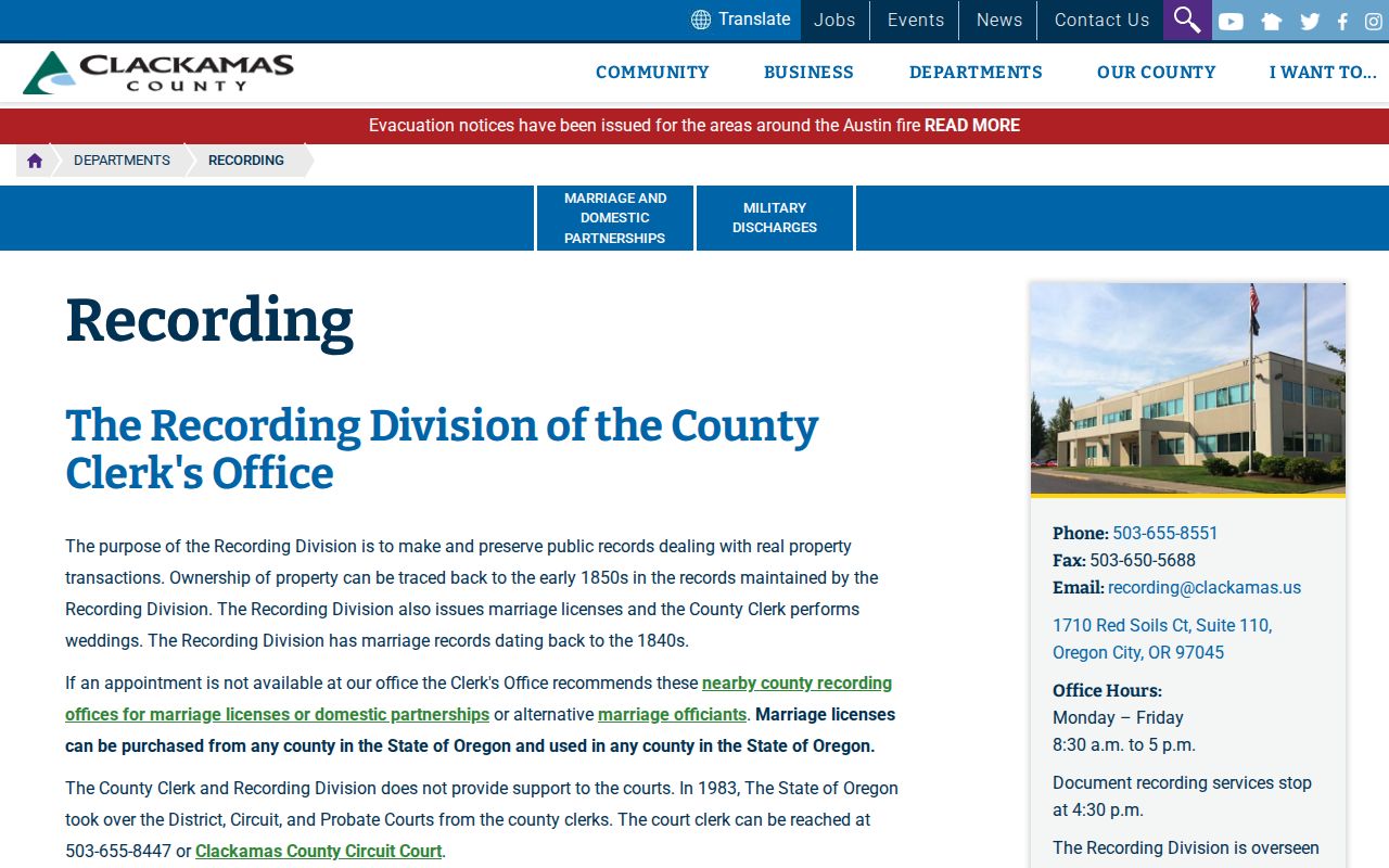
Recording provides the document and research channels needed to verify a title or deed trail.
The inspected record-search help describes searches across grantor, grantee, document type, recorded date, document, legal description, and book or volume and page. Basic multiword search defaults to AND; advanced full-name search can narrow party type to all, grantor, or grantee. Use the legal description to ensure a party result belongs to the same parcel.
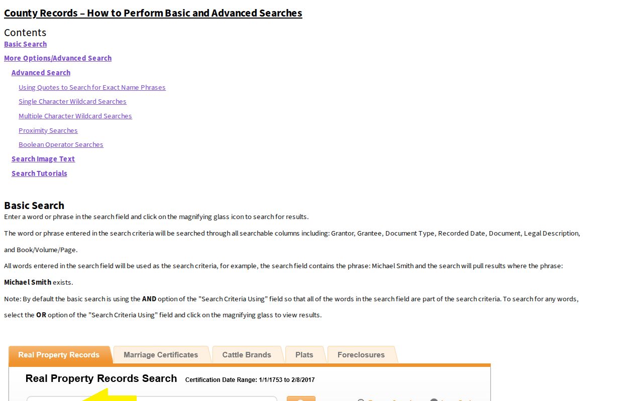
The help documents vendor search behavior, while the in-person research area remains the verified county fallback for uncertain access.
Milwaukie Street Permit Evidence
City permits are a useful address trail when the question concerns work, a project date, or record status. Milwaukie's ePermitting instructions direct public users to Oregon Accela, Building Permits, and a minimum portion of the address rather than an over-specific string. The guide also says to change the General Search Start Date from its default one-year range to 1900 for broader research. A known permit number is another search key.
Results documented in the city guidance can show Date, Permit Number, Permit Type, Project Name, Address, Status, and Action. Opened records may include Record Details, Processing Status, Related Records, Attachments, and Inspections, depending on the record. The instructions do not establish a complete pre-digital online archive. Request older or unavailable material through the City Recorder or building counter.
The City’s ePermitting instructions describe the public search method and its limits. City planning notices are another address-specific civic source: they can identify a file number, application type, description or address, and neighborhood district association. Notices commonly reach a 300-foot area when public notice is required. They document a proposal at a particular point in time, not a complete record of who lives nearby.
Milwaukie Survey Cards and Plats
A current map cannot always settle an older street or subdivision question. The County Surveyor warns that many old field books, survey records, and some road records are not online or entered in a database. Its card-file index is the fallback for historic survey work. If a recording number or name is known, staff can send a specific survey or plat. This is often the key step when a present parcel display does not reveal the earlier road or lot context.
The Surveyor is at 150 Beavercreek Road in Oregon City and lists 503-742-4475 for research questions. Start with the current parcel or tax-lot number, then add the legal description, subdivision name, and any known recording number. Those details help staff distinguish a particular historical map or road record from a similarly named street. An office card search complements the online map instead of replacing it.
Survey and road materials can explain an old physical reference even when a modern map uses a newer parcel display. They do not establish a current household, owner, or resident relationship by themselves.
- Situs address
- The physical street location used in mapping, tax, and permit systems.
- Parcel or tax lot
- A county identifier used to locate a mapped property and connect tax information.
- Plat
- A recorded map of a subdivision or land division that can anchor a legal description.
- Criss-cross directory
- A reverse guide that lists a street and address before the person or business entry.
Note: A survey or plat can clarify parcel history, but only the authoritative source should resolve a legal boundary question.
Milwaukie Street Guides Over Time
For an older street occupant trail, selected Portland directories are the documented metropolitan substitute. A 1912 Polk title explicitly includes Milwaukie and suburbs. Most Portland volumes from 1930 forward contain a reverse Street and Avenue Guide, usually arranged by street, block, and address. First verify that the precise edition includes Milwaukie, find the address in the reverse guide, and then cross-check the listed person or business in the alphabetical section.
An entry supports a publication-year listing, not every household or a modern address. Pair it with deeds, permits, census, or archive material as the date requires. The historical shelf, directory anatomy, and archive alternatives are covered in the Milwaukie city directories collection.
For local context around an old street, Ledding Library's history resources include Centennial Memories, Milwaukie: 1903–2003, Milwaukie Then and Now, walking-tour material, and other local-history works. The Milwaukie Museum's Clair Kuppenbender Research Library is another historical route. Neither institution's researched public source published an exhaustive directory, obituary, or newspaper-year list, so call before assuming a particular shelf or volume is available.
The library guide also advises reading the exact volume's front matter for abbreviation keys. Directory notation can vary by edition, so a mark should be interpreted from the book that contains it.
Milwaukie Street Directory Limits
A Milwaukie street directory cannot prove every resident at an address. CMap does not publish owner names online. Tax and recorded-property records have their own scope and access rules. Permit records describe work or a project, not residence. Oregon's voter-list route is a request process subject to protections, not a public map of a block. A missing name may reflect a protected address, a different record custodian, a change over time, or a source that never collected the fact.
Oregon Address Confidentiality Program participants can use substitute addresses, and ORS 192.368 can protect a home address or telephone number when disclosure would endanger someone. Treat redaction or nonappearance as a privacy boundary. For a focused historic or property question, provide the office with the correct parcel, date range, and legal description instead of trying to infer personal details from an incomplete web result.
Lawful use. Use Milwaukie address records for personal, lawful research, family history, civic questions, or source verification. Never use them to stalk, harass, intimidate, threaten, or harm another person.