
Milwaukie Neighbor Record Sources
A block search has to match the question to the keeper. Clackamas County CMap is useful for seeing the parcels that touch or sit near a known address. The map also supplies public context such as tax, jurisdiction, service, hazard, and election-district layers. For a particular property-record question, Assessment & Taxation is the county contact. The map deliberately does not publish property-owner names online, and neither source establishes everyone who occupies a home.
Recorded instruments, survey material, planning notices, and association information can add separate pieces. They are best read as dated records about a parcel, a proposal, or a civic boundary. A useful block file keeps the address and tax lot beside the source date, then confirms an important connection with the office that maintains the record.
| Source | What It Shows About a Block | Access |
|---|---|---|
| CMap | Parcels, tax and building context, services, precincts, districts, maps, and nearby lots | Free county map browse |
| Assessment & Taxation | A particular property record, subject to the office's lawful access rules | Phone, email, or counter |
| County Surveyor | Older surveys, plats, roads, and tax-map context | Office card-file and copy route |
| City planning notices | An application address, file context, associated NDA, and notice area | Public notice or file route |
| Neighborhood District Associations | Recognized boundaries, public meetings, officers, bylaws, and participation details | City association materials |
| County Elections and Oregon SOS | Election administration and the official voter-list request process | Custodian request with restrictions |
A recorded owner or mailing contact is not a household roster. A current map cannot prove a personal relationship, occupancy, or length of residence. That distinction matters when getting acquainted with a block, tracing a property question, or checking the official record behind an unexpected notice.
For an address that appears to sit near a city edge, also confirm the jurisdiction before requesting a city permit or planning record. Milwaukie is within Clackamas County, but a mailing-city label, school area, service district, or nearby Portland address does not settle municipal responsibility. CMap and the city materials answer different geographic questions. Using both prevents a request from going to the wrong office.
Dates matter as much as location. A CMap result gives current parcel context, while a planning notice concerns a particular application period and a recorded instrument relates to the date it was filed. Compare the source date with the question being asked. A document that accurately describes a parcel years ago may not describe its present condition, and a current map will not fill every historical gap.
CMap for Milwaukie Neighbors
CMap: Mapping your Clackamas Property accepts an address and also documents city, intersection, tax-lot, and parcel-number searching. When an exact number is old, incomplete, or not recognized, the alternative modes can locate the same area without guessing at a name. Once the anchor parcel is visible, use the map controls to pan, zoom, and inspect the adjoining lot contexts.
- Parcel or tax lot
- A county property identifier that helps distinguish adjoining pieces of land with similar street addresses.
- Situs address
- The physical address used to locate a parcel in the county's map, tax, and permit systems.
- Legal description
- The recorded lot, block, subdivision, tax-lot, or metes-and-bounds language that connects a parcel to a plat or instrument.
CMap's boundary display is for map use and is not survey-quality. The parcel result is a strong starting point for visual context, but a boundary or title conclusion needs the proper survey, plat, or recorded document.
Map Milwaukie Neighbor Parcels
Use a repeatable parcel process rather than trying to turn a block into a name list. It preserves the source boundaries and gives a clean route for correcting an address mistake. Keep each parcel result separate, especially at corners or where a street name meets a city boundary.
- Enter the exact anchor address in CMap. If it fails, try the intersection, city, tax lot, or parcel number.
- Open or map-search the immediately surrounding parcels. Record each tax lot or parcel identifier with its map context.
- For a lawful property-record question, contact Clackamas County Assessment & Taxation about the identified parcel. CMap omits owner names online.
- When a recorded instrument is needed, carry the legal description or parcel facts to the Recording Division and compare the date, parties, and document details.
That sequence follows one address outward by adjacent parcel. A longer address-history trail uses the Milwaukie street directory, where tax lots, legal descriptions, deeds, plats, and changing street references can be compared in more detail.
Milwaukie's Seven Neighborhood Associations
Milwaukie recognizes seven Neighborhood District Associations, or NDAs. They are volunteer, advisory civic groups with boundaries, regular meetings, bylaws, annual May elections for officers and committee roles, and quarterly leadership meetings. City materials describe participation and public association information. They do not provide a universal resident or member directory.
| Neighborhood District Association | Publicly documented role |
|---|---|
| Ardenwald-Johnson Creek | Recognized NDA whose area overlaps Portland and Milwaukie. |
| Hector Campbell | Recognized Milwaukie civic boundary and association. |
| Historic Milwaukie | Recognized Milwaukie civic boundary and association. |
| Island Station | Recognized Milwaukie civic boundary and association. |
| Lake Road | Recognized Milwaukie civic boundary and association. |
| Lewelling | Recognized Milwaukie civic boundary and association. |
| Linwood | Recognized Milwaukie civic boundary and association. |
The boundary system began with April 1994 Resolution 6-1994 and used the school catchments then in place. Later school-boundary changes mean the two systems do not fully align. Ardenwald-Johnson Creek also predates annexation, so it is especially important to confirm which city and agency serve a particular address.
Association materials are useful for public meeting schedules, officers, bylaws, and a way to participate in local civic discussion. They should not be treated as proof of every person within the boundary. A boundary tells where an association's public role applies. It does not establish who lives on a parcel or who takes part in a meeting.
Milwaukie Block Election Geography
CMap can identify the voting precinct, State House district, State Senate district, and congressional district attached to a property. That information describes the block's election geography, not the people who vote there. It can help a resident find the appropriate election jurisdiction or understand why nearby addresses fall into different districts.
The Oregon voter-list request process explains statewide and less-than-statewide request routes. It is a controlled custodian process, not an address-by-address public display. Protected information and protected voters remain outside the route, and an election record must never be treated as a complete list of neighbors.
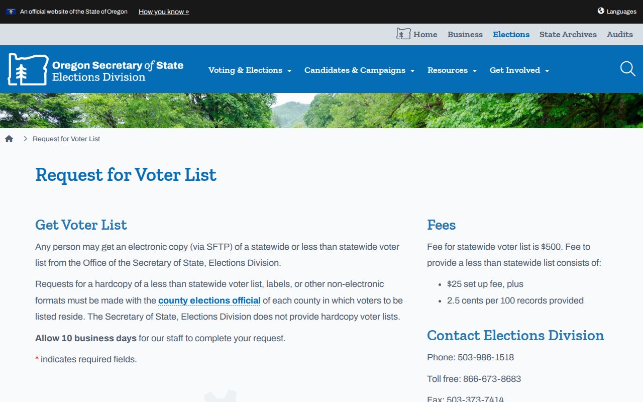
The request page illustrates the difference between an official process and a block roster: access terms, coverage, and protected-address rules still control how a record may be used.
Election geography can change as districts are revised. Use the property-specific CMap result for a current district context and the elections office for a voter registration or list-access question. Neither route should be used to infer political views, family relationships, or the identity of every person connected with a nearby address.
Historic Milwaukie Block Evidence
When a current parcel view does not explain an older boundary, street reference, or subdivision, the County Surveyor is the more suitable next source. CMap links to survey and tax-map context, but the Surveyor reports that many older field books, records, and some road materials are not in shapefiles or a database. The office's card-file index can be the missing link between an online parcel and older source material.
Clackamas County Surveyor standards and access information describes the distinction between online material and office-only research. Bring the parcel or tax-lot identifier, legal description, and any known subdivision name when narrowing a survey or road-record request.
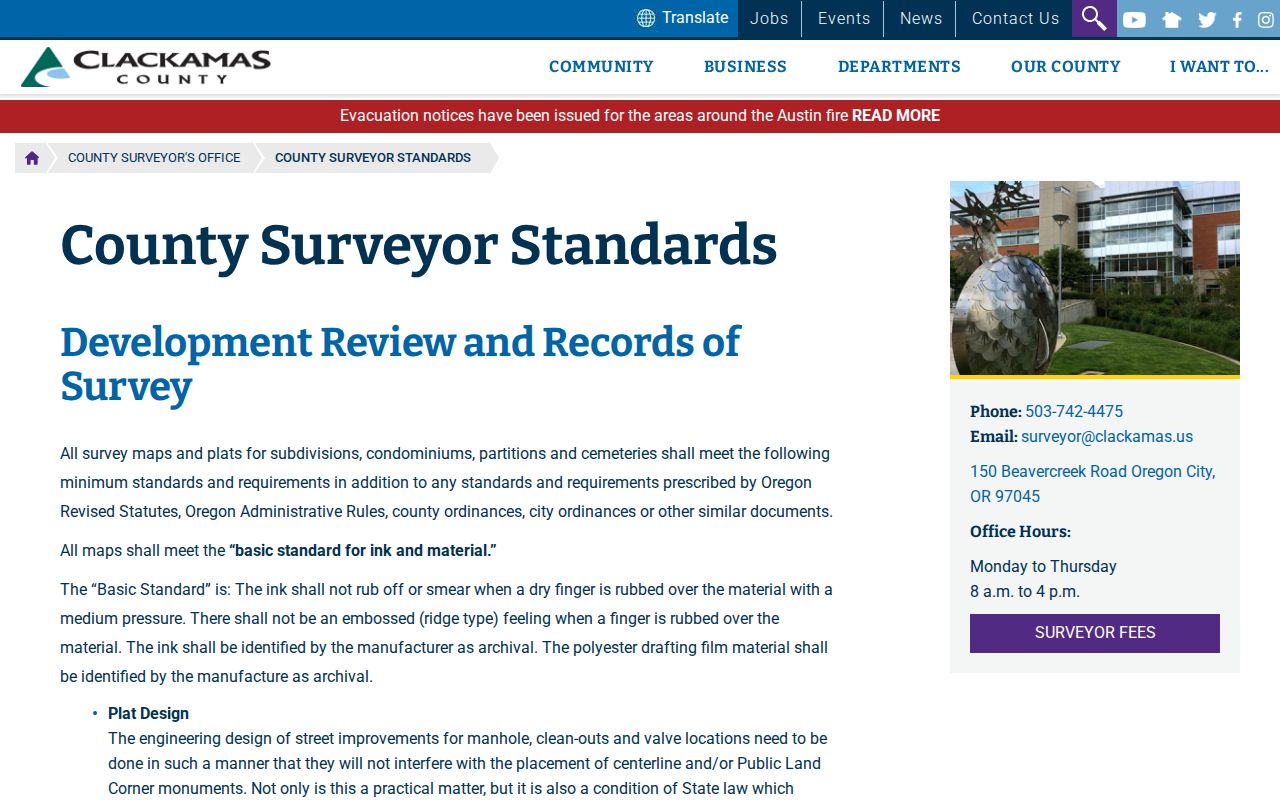
Survey records provide land context, not a present-day resident list. They are most useful when a block question depends on a plat, road alignment, or historical parcel relationship.
Official Milwaukie Neighbor Sources
Official and nonofficial tools answer different questions. The first group identifies the agency, record purpose, and access limits. The second group may combine data from unknown dates or sources. For a parcel, notice, or civic-boundary question, begin with the responsible custodian and keep a copy of the underlying record or response.
| Question | Official record or source | Nonofficial neighbor tools |
|---|---|---|
| Which lot is next to an address? | CMap parcel context with tax-lot and map details | May draw a generalized block and omit parcel identifiers |
| What public project affects the area? | City planning notice or file route | May carry stale or incomplete summaries |
| Which civic boundary covers the address? | City NDA maps and association materials | May confuse school, ZIP, city, and association boundaries |
| Is a property detail accurate? | Assessment & Taxation or Recording confirmation | May combine old data without a correction path |
An official source can also be incomplete or restricted. Its advantage is that it identifies the custodian and the governing limit, making it possible to ask a narrow follow-up question or request a lawful public record.
The Oregon active business-registration search is another limited government source that can show entity filing information by business name or registry number. It may help distinguish a business connected with a public notice or recorded document, but it does not identify everyone living near an address.
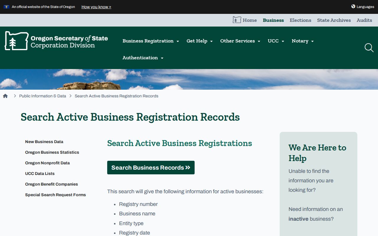
A business-record result should stay within its filing scope and be checked with the responsible parcel, planning, or recording custodian where a block question requires confirmation.
Milwaukie Neighbor Privacy Limits
Public parcel context does not remove Oregon's privacy protections. The Oregon Address Confidentiality Program supplies a substitute address and mail forwarding for survivors of intimate partner violence, sexual assault, stalking, or human trafficking. Oregon law also allows public-body home-address and telephone nondisclosure under ORS 192.368 when release would endanger a requester or household. Protected voter information and restricted court or vital material remain outside ordinary public access.
Utility accounts, delivery records, and a complete household list are not supplied by the property map. An absent, masked, or redacted address may reflect a legal protection or a source limit. Do not draw an adverse conclusion from it, and send a correction request to the custodian that created the record rather than attempting to assemble sensitive details from scattered sources.
Lawful use. Milwaukie neighbor research can support civic participation, property questions, family history, or reconnecting with people. Never use a record or address detail to stalk, harass, intimidate, threaten, or harm anyone.